
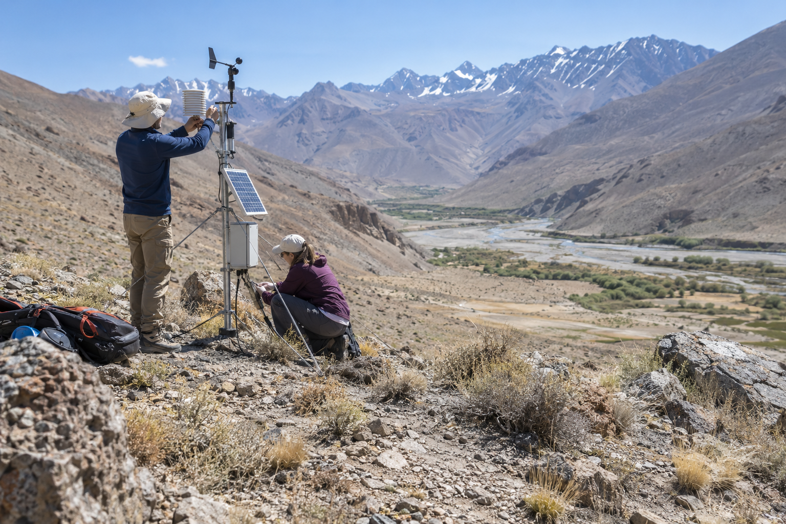
Mountain regions shape water supplies far beyond their valleys, yet they remain among the hardest places to monitor. A new generation of compact weather stations is helping researchers fill important gaps. Installed on ridges, slopes and high watersheds, the instruments measure temperature, precipitation, wind, soil moisture and solar radiation. Together, those observations make forecasts more useful for the communities that depend on seasonal snow and rainfall.
Local measurements reveal hidden differences
Conditions can change sharply across a short distance in the mountains. A station in a valley may record rain while a higher site receives snow, and two neighboring slopes may lose moisture at different speeds. Broad regional models can miss these contrasts. A carefully designed network shows how elevation, vegetation and exposure influence local weather, giving scientists a clearer picture of where water is stored and when it is released.
The stations are smaller and more efficient than older equipment. Solar panels power sensors and communication systems, while automated checks flag unusual readings. Researchers still visit each site to clean instruments, inspect cables and compare digital measurements with field observations. Reliable climate records require patience because a single damaged sensor can create a misleading trend if the problem is not identified quickly.
Better data supports practical decisions
Water managers use mountain observations to estimate spring runoff and reservoir inflows. Farmers gain earlier warnings about frost, drought and unusually warm winters. Fire agencies can monitor the combination of dry vegetation, low humidity and strong winds that increases risk. Even road departments benefit because temperature data helps them anticipate ice and plan maintenance in exposed passes.
The greatest value comes when information is shared in clear formats. Some projects publish open dashboards that translate technical readings into maps and short local summaries. Community organizations can then compare current conditions with previous years instead of relying on distant stations or general national forecasts. This makes climate information easier to discuss in town meetings, farming groups and emergency planning sessions.
Long records matter more than quick headlines
A new station does not instantly prove a climate trend. Its importance grows as observations accumulate across years and are compared with older records. Consistent maintenance, documented methods and stable locations allow researchers to separate long-term change from ordinary seasonal variation.
Mountain monitoring is therefore both a technical and institutional commitment. It requires trained field teams, dependable funding and cooperation with landowners. When those pieces remain in place, a modest instrument on a remote slope can improve decisions for entire river basins and make climate planning more precise.